Adapted from article written by Don Pinnock
Originally published by Daily Maverick (Wed, Jan 17, 2024)
Three-quarters of fishing vessels worldwide have been inaccessible to public scrutiny and are potentially operating illegally, but AI has just tracked them down.
On land, maps exist for almost every road, human structure or land use. On the vast, featureless oceans, however, much can be hidden. And it has been – until now.
Using artificial intelligence tracking billions of bits of information from multiple sources, including satellite images, a study published in the journal Nature discovered that huge numbers of mainly fishing vessels have been “hiding” by turning off their compulsory automatic tracking systems.
The research team led by Global Fishing Watch provides an unprecedented map of ocean traffic and offshore infrastructure, giving a new understanding of an industrial revolution unfolding across the Earth’s oceans.
More than a billion people depend on the sea for their food and 260 million are employed in marine fishing.
About 80% of all traded goods travel by sea and 30% of the world’s oil is produced in offshore fields.
It’s a trillion-dollar “blue ocean” economy growing faster than the overall global economy.
But it’s causing rapid environmental decline.
A third of fish stocks are operated beyond sustainability and an estimated 30-50% of critical habitats have been lost through industrialisation. The study is an attempt to track and map these developments.
Some ship tracking systems are used, but available only to the parent company and not publicly available. Most vessels, however, have an automatic identification system (AIS) which broadcasts their movements as well as logging vessel and owner identities and tracking fishing activities.
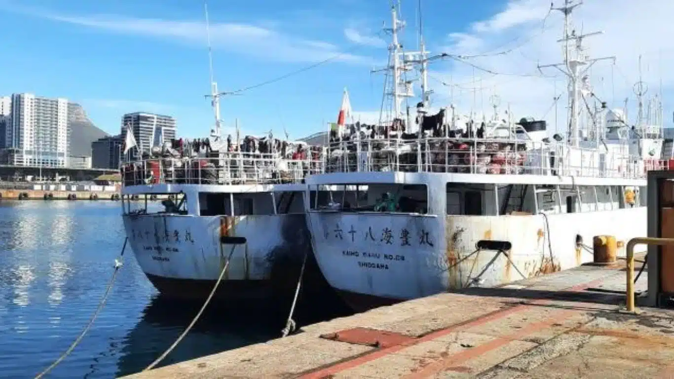
According to the study, “vessels engaged in illicit activities often turn off their AIS transponders or manipulate the locations they broadcast. In recent years, for example, the largest cases of illegal fishing and forced labour were by fleets that mostly did not use AIS devices.”
There are also “blind spots” along coastal waters where satellite reception is poor, and when AIS is routed through a country it can be restricted by governments for commercial or political reasons.
Artificial intelligence solved that by combining systems with its ability to make sense of staggering numbers. The study analysed two petabytes of satellite imagery between 2017 and 2021 covering more than 15% of the ocean in which more than 75% of industrial activity is concentrated.
It classified more than 67 million images and analysed 53 billion vessel GPS positions. About 63,300 vessel occurrences were detected at any given moment, roughly half of which were fishing vessels.
“Notably, about three-quarters of globally mapped industrial fishing did not appear in public monitoring systems, compared with one-quarter (21-30%) for other vessel activities.”
Asia dominates industrial fishing, accounting for 70% of all fishing vessel detections – nearly a third were concentrated in China’s exclusive economic zone.
Many fishing vessels not publicly tracked were also detected inside marine protected areas (MPAs).
The Galápagos Marine Reserve and the Great Barrier Reef Marine Park – two of the most iconic, biologically important and well-monitored MPAs in the world – were penetrated by between five (Galápagos ) and 20 (Barrier Reef) fishing vessels a week.
The study also identified fixed marine structures, including piers, wind farms and oil drilling installations.
China leads the development of offshore wind generation, with a staggering 900% increase in turbines from 2017 to 2021 (around 950 a year). Offshore wind farms were found to be mostly confined to northern Europe (52%) and China (45%) and have more than doubled since 2017.
But there has also been a 16% increase in the number of offshore oil structures.
Speaking to Earth.com, Patrick Halpin, a professor at Duke University and co-author of the study, underscored the broader implications of these findings.
“The footprint of the Anthropocene is no longer limited to terra firma,” he said.
“Having a more complete view of ocean industrialisation allows us to see new growth in offshore wind, aquaculture and mining that is rapidly being added to established industrial fishing, shipping and oil and gas activities.
“Our work reveals that the global ocean is a busy, crowded and complex industrial workspace.”

